
Skip to content
Above
Above

Your hikes. Your trail journal.

Plan your own route, stay oriented along the way and keep the whole hike afterwards. Your route, photos, notes and reached summits stay together in your personal trail journal. Save the map and important trail data before you set out so they remain available without mobile reception.

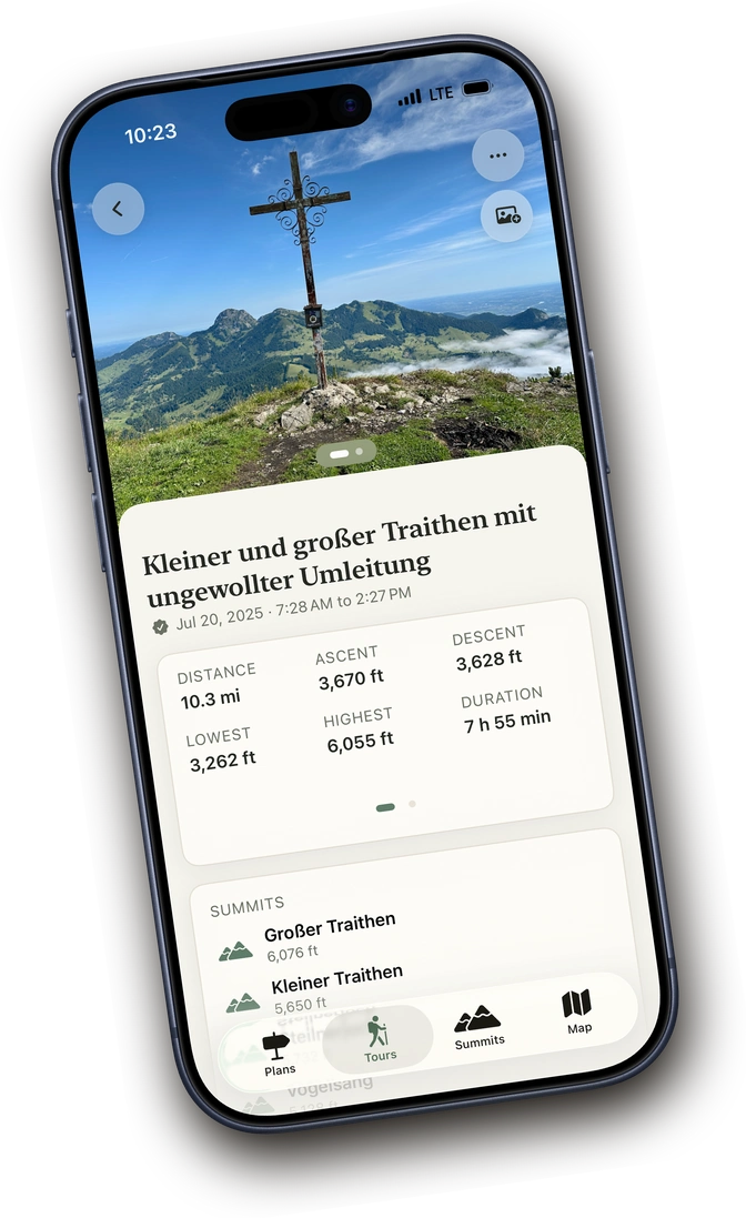
A recorded tour in Above with stats and a memory photo
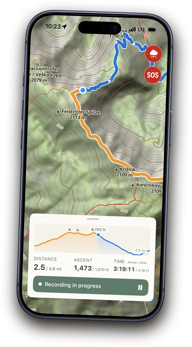
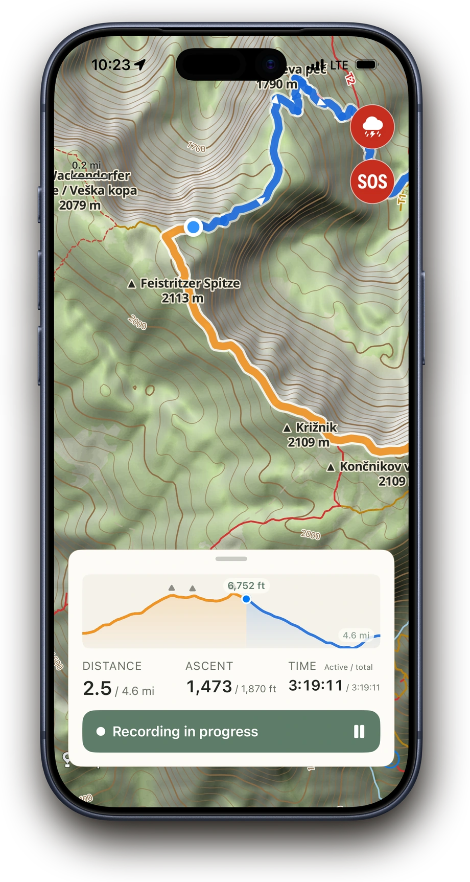
Above recording a hike: orange track behind, blue ahead, a position dot on the trail and the elevation profile open at 4.2 of 8.4 km
Download on the App Store Works offline · No user account · No subscription

Your tours

From planning to your tour archive.

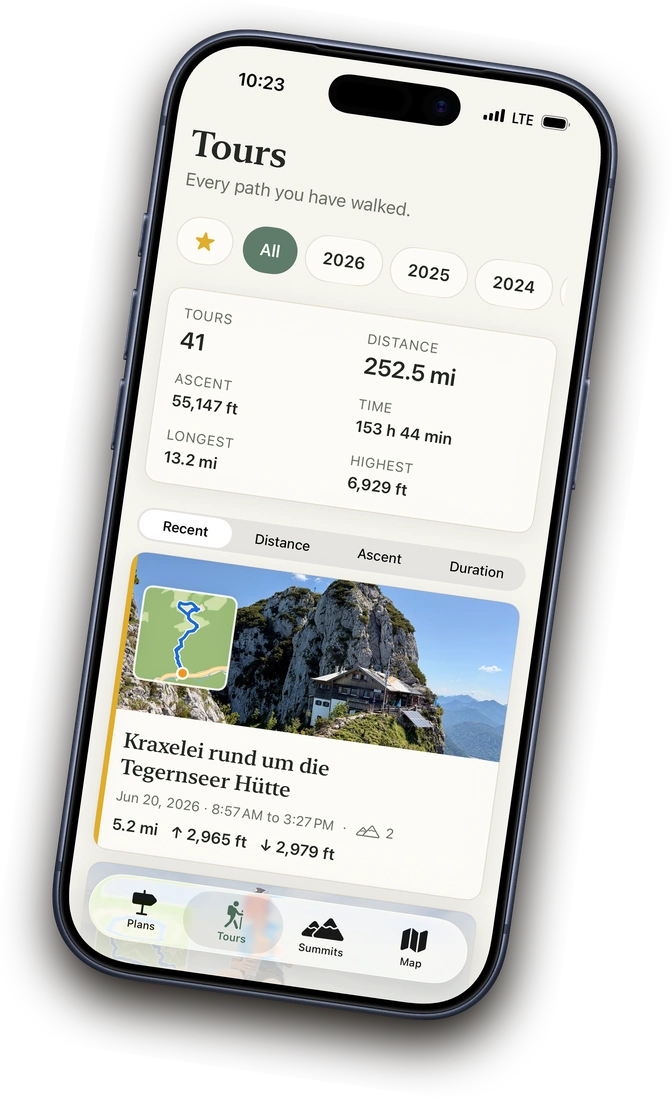
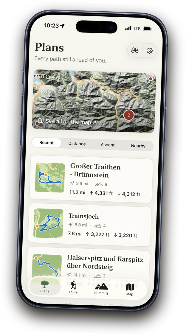
Plan your own route, discover tours from other hikers or bring in an existing route from Komoot, Outdooractive or another app. After your hike, the route, photos, notes and tour details stay together in your personal tour archive.

Learn more
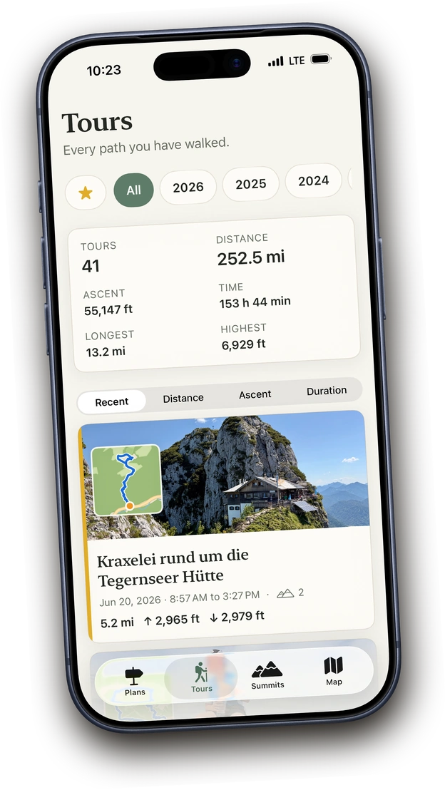
A recorded tour in Above with stats and a memory photo
Planned tours in Above on the map with route pins

The summit book

All the summits you have looked down from.

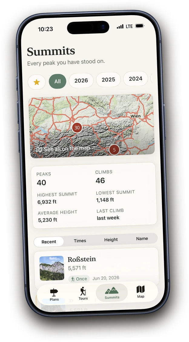
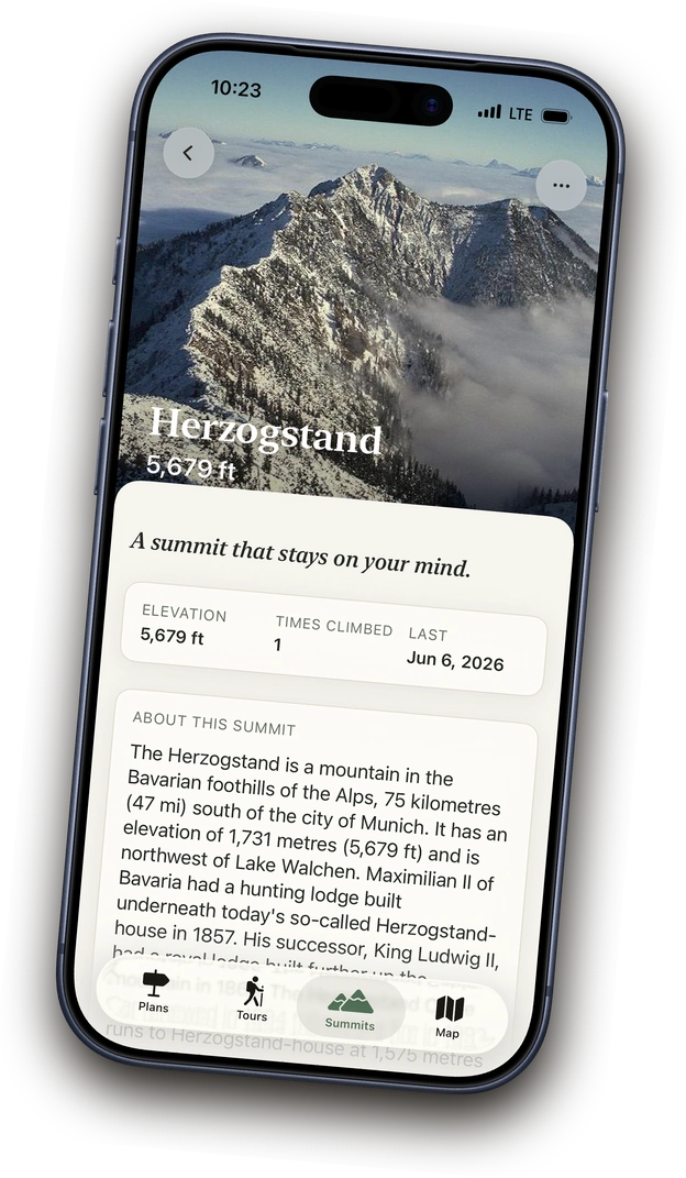
When your hike takes you over a summit, Above automatically adds it to your summit book. Each summit stays connected to the hikes that took you there.

Learn more
The summit book in Above, sorted by elevation

The hiking map

Navigate and record on the trail.

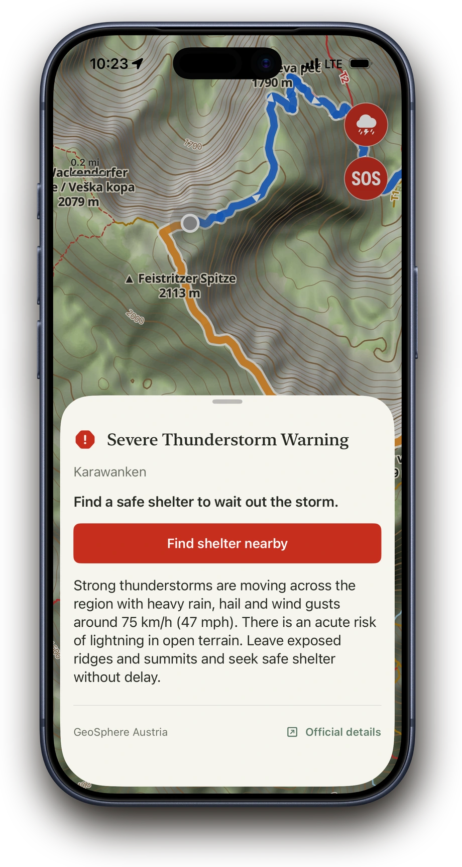
On the map, you can see where you are and what lies ahead. Above shows summits, huts, water sources and other useful places, along with detailed information about the terrain and difficult trail sections. As you hike, Above records your tour and warns you about severe weather or when you stray from the planned route. Your route and all important map information remain available at all times, even without mobile reception.

Learn more
Above showing an en-route severe-weather warning on the map
Above recording a hike: orange track behind, blue ahead, a position dot on the trail and the elevation profile open at 4.2 of 8.4 km

Ready before reception disappears.

Above downloads the topographic map, including trails, terrain information and important places, across a wide area around your route completely to your iPhone. This lets you navigate even on unplanned detours without cellular reception and calculate routes to any point.

Good to know.

Free with no subscription

Planning, the tour archive and the summit book are free. You can try recording three times and then unlock it with a one-time purchase, with no subscription.

Worldwide maps

Worldwide topographic maps updated monthly with trails, places and useful points, plus detailed terrain information.

Import and export

Import tours as GPX or FIT files, and export individual tours or your entire archive as GPX at any time.

Languages

Above is available in German, English, Italian and French.

Battery-friendly

Optimised to use as little battery as possible, even on long days outdoors.

Multi-day tours

Record a tour over several days and save it as one continuous hike at the end.

What adds up over time.

With every hike, your summit book grows all by itself. You can see which summits you have reached, which ones you have returned to, how many ascents you have made in total and which has been your highest so far.

Sorted by elevation

Feistritzer Spitze 2,113 m 20 Jun
Herzogstand 1,731 m 14 Jun
Roßstein 1,698 m 8 Jun

46 ascents · 40 summits · highest summit 2,113 m

Above is your trail journal, not a social network.

Your tours, summits, photos and notes stay on your iPhone and, if you choose, in your private iCloud. Above has no public profile, no feed and no likes. You decide whether to share a hike and who to share it with. Your data belongs to you, not a corporation.

No adsNo ad trackingNo user account requiredExport to GPX anytime

Read the privacy policy

Take Above on your next hike.

Download on the App Store

Planning and archive always free. Try recording 3 times, then unlock once.