Skip to content
Above
← Back to overview

Above

Your tours

Your plan becomes a memory.

You decide how your hike begins. Plan your own route, discover a tour from another hiker or bring an existing route with you. Above then keeps the planned route, the path you took, your tour data, photos and notes together.

Download on the App Store Works offline · No user account · No subscription
Planned tours in Above as a list
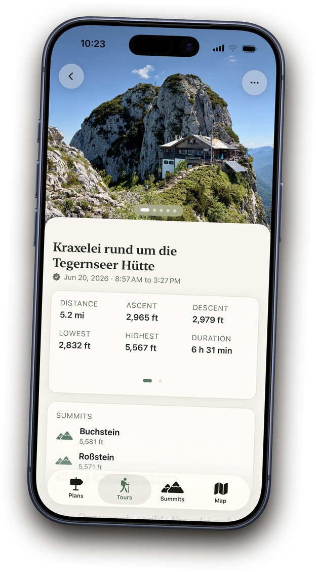
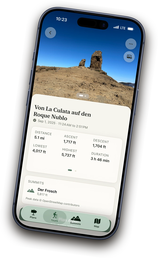
A recorded tour in Above with stats and a memory photo
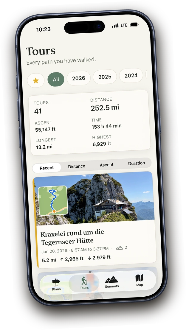
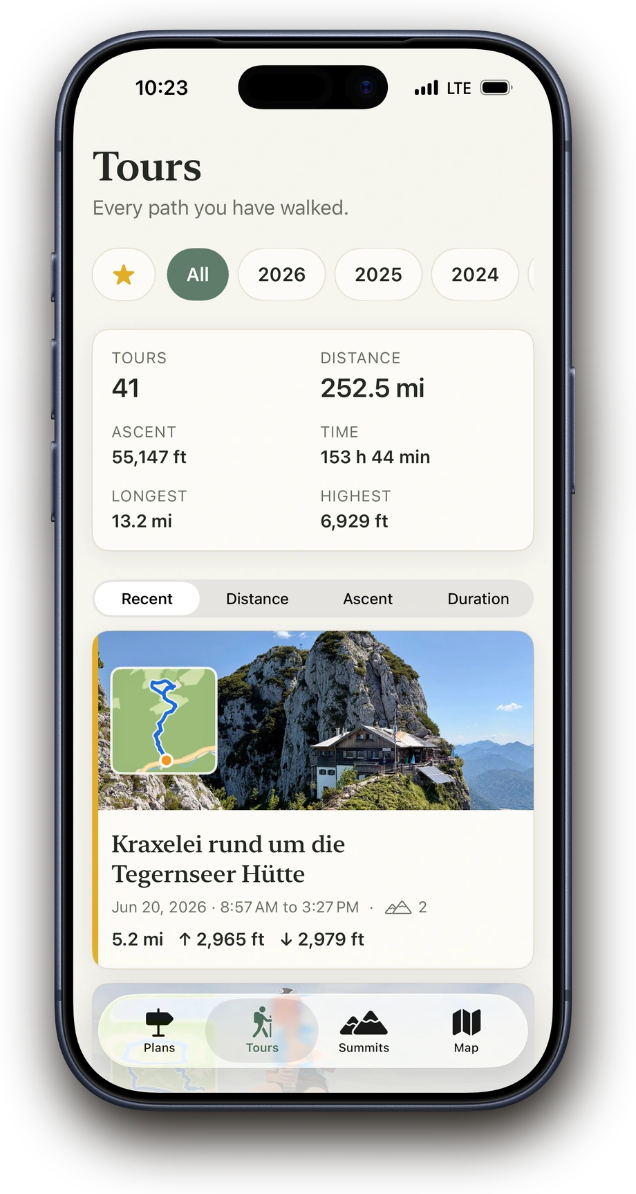
Tour archive in Above with search, filters and a tour list
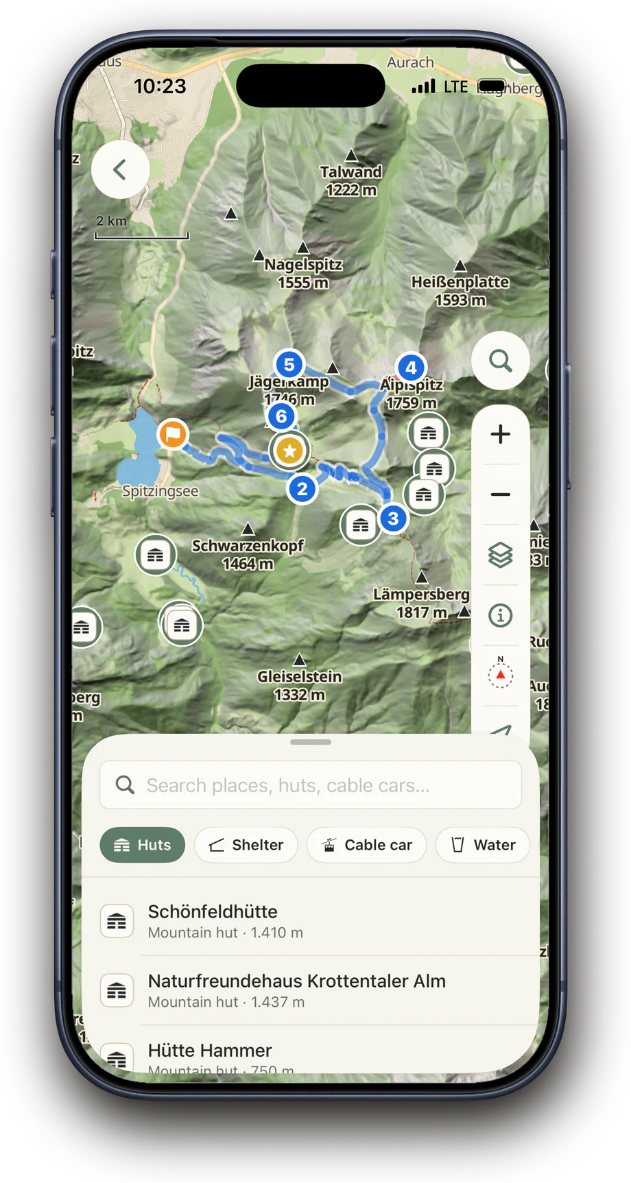
Adding a hut as a waypoint to a planned tour in Above using place search
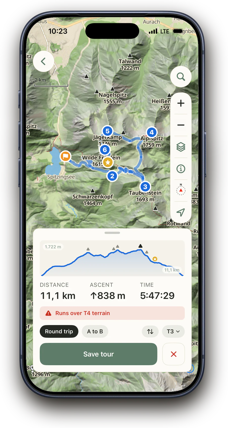
Planning a round trip in Above with waypoints, elevation profile and trail difficulty

Plan the route you want to hike

Maybe you already know which summit or hut you want to reach. Search for the place or add your own points to the map. Above connects them along suitable hiking trails and shows you beforehand how long and demanding your tour will be.

  • Search for summits, huts and other places and add them directly
  • Plan a point-to-point route or a round trip
  • Choose the maximum trail difficulty
  • Check distance, elevation gain, duration, elevation profile and difficult sections beforehand
  • Edit saved or imported routes and mark important waypoints for the hike
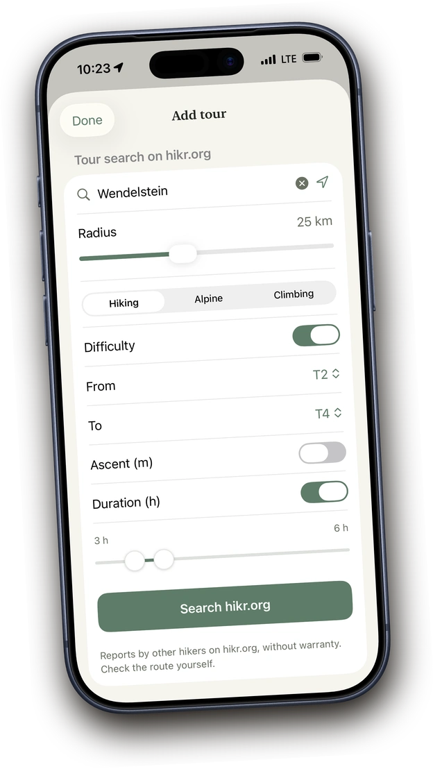
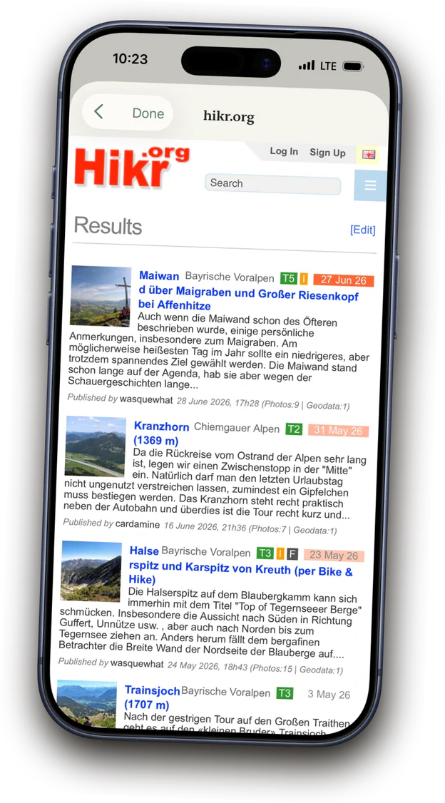
Tour discovery in Above with hikr.org filters
hikr.org tour results in Above for the Wendelstein region

Discover tours or bring a planned route

Find tours near you and filter them by difficulty, duration or activity. If you already have a route from Komoot, Bergfex, Outdooractive or another app, simply bring it in as a GPX or FIT file. In Above, you can check the tour beforehand and get directions to the start.

  • Find tours through the integrated hikr.org search and add them directly
  • Import GPX and FIT files from other apps and websites
  • Check distance, elevation gain, duration and summits beforehand
  • Send the start point to Maps or your navigation app
Tour archive in Above with search, filters and a tour list
Completed Tegernseer Hütte hike in Above

All your hikes in your pocket

After your hike, the path you took, tour data, photos and notes stay together. That way, you can find every tour again later and see which places you visited and which summits you reached. If several hikes belong together, like a multi-day tour or your hiking vacation, group them into a collection.

  • Keep planned and completed tours in view
  • Search your archive by names, places, summits and notes
  • Track distance, elevation gain, hiking time and other statistics
  • Organize tours with filters and favourites or browse them by year
  • Group several tours into a collection
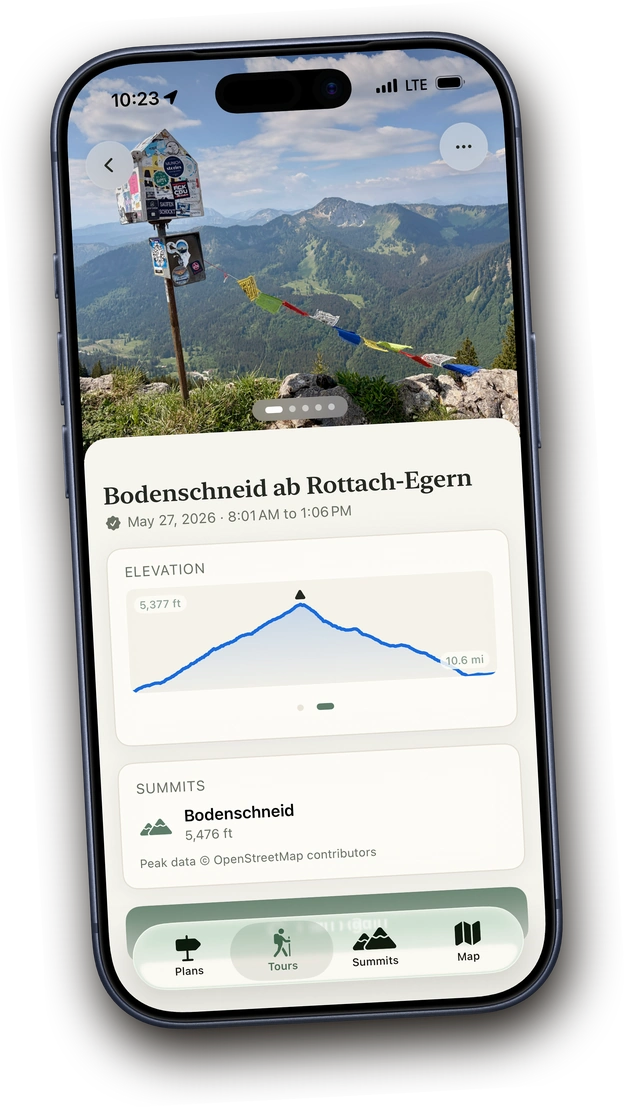
Completed Bodenschneid hike in Above with elevation profile
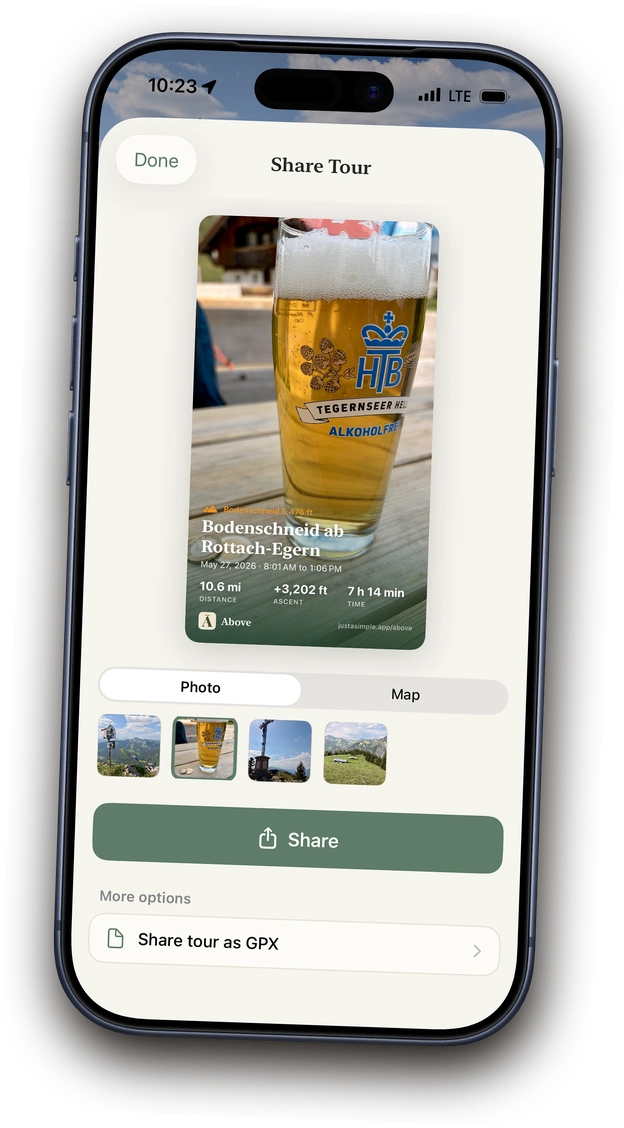
Sharing a tour in Above as an image or GPX

Share only what you want to share.

Your hikes stay private. If you choose, you can share a tour as an image, a GPX file or a complete tour with every detail with another person who uses Above. You decide what you share and with whom.

  • Share a hike as an image
  • Send a complete tour or a whole collection, with every detail, to another Above user
  • Export individual tours as GPX
  • Back up your entire tour archive all at once, anytime

Good to know.

Bring existing tours

Import tours or your entire archive from other apps.

Export anytime

Export individual tours or your entire archive as GPX anytime.

Planning and archive are free

Route planning, import, export and the tour archive are always free.

Private on your iPhone

No user account. Your tours, photos and notes stay on your iPhone and, if you choose, in your private iCloud.

Take Above on your next hike.

Download on the App Store

Planning and archive always free. Try recording 3 times, then unlock once.

← Back to overview